

Navigation
How not to get lost!
Duration:
5 HOURS
Group size:
2 - 8
Price:
£60 PP
Share The Adventure

Course Info
In this day and age, using your phone to get to most places is the done thing. In the hills and mountains this can be very different.
Phones have limited battery life, the cold weather wears your battery out quicker than usual, whilst at the same time there is usually no signal, so your phone is constantly searching for one, using even more battery power.
Before you know it, you are lost, it’s getting dark and the weather is taking a turn.
Fear not!
On Our Navigation course, we will cover;
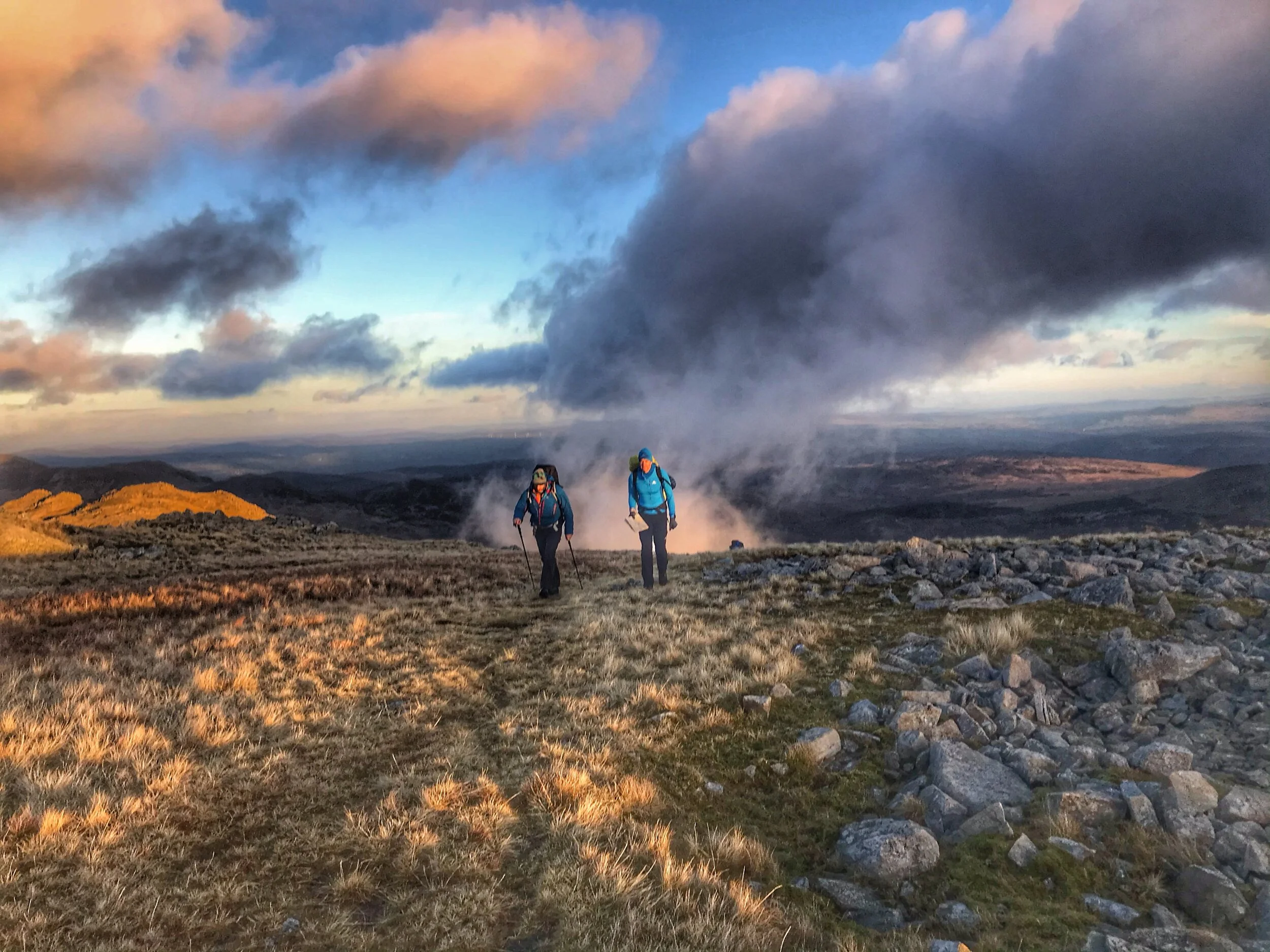
Route planning - Where to find route info and how to plan a day out.
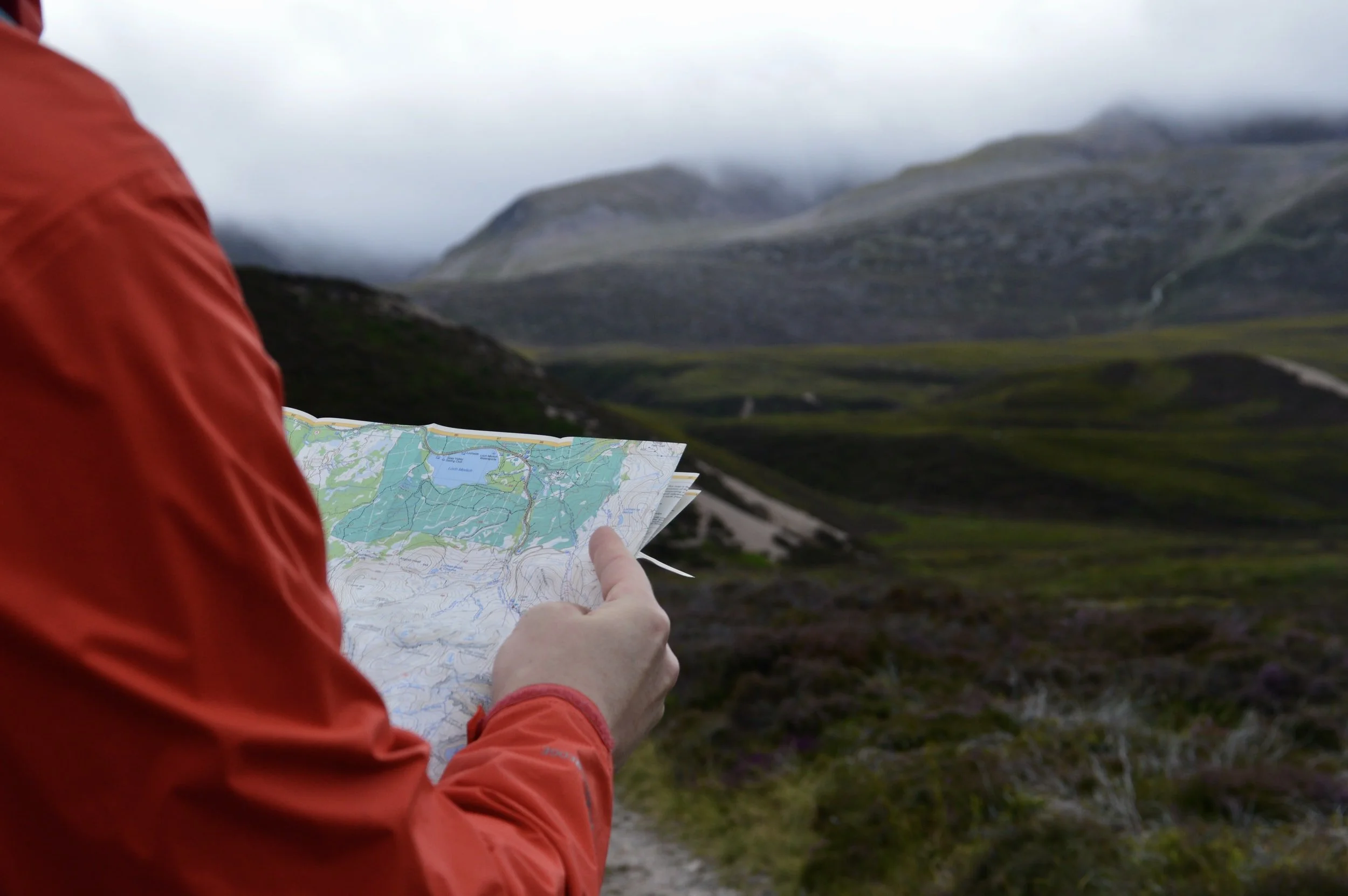
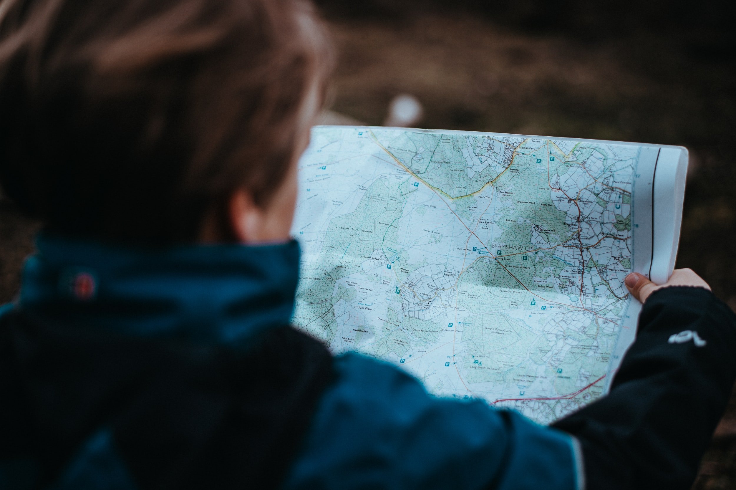
Maps and scales - What’s the difference between a 1:25000 map, 1:40000 and 1:50000 (OS maps and Harvey maps)
Map symbols and features - Learn what al the features on a map actually are.
Pacing and timings - learn how many steps it takes to walk 100m and how long it takes (helps on low visibility)
How height is shown on the map - contours and elevation
How to use the compass - Measuring distances, finding and following a bearing
Who for?
Yonder Adventure company’s Navigation course is designed for everyone and anyone, for those brand new to navigation and map reading or for those who have forgotten a few things!
For those who want to learn in a beautiful environment whilst having a great day out!